- Joined
- Jan 6, 2013
- Messages
- 5,574
- Reaction score
- 11,213
1. The History
The Prince of Wales slate mine at Bwlch y Ddwy Elor (meaning “The Gap of the Two Elves”) nestles in Cwm Trwsgl at the head of the Cwm Pennant valley, to the north-east of Dolbenmaen, Gwynned, It was initially worked as an open-working quarry with the slate carried north-east to Ryhd Du, under the management of William Francis, the former quarry manager at Penrhyn quarry. In the 1860s the mine was developed and started to be worked on three levels, including underground workings. Seven galleries were opened up, each connected by a single main incline, climbing up to the head of the quarry from the south. At the incline’s foot was a water-powered mill, completed in 1864 at a site known as Cwm Trwsgl, which dealt only with slab. The mill was powered by a water wheel with pillars to its left which carried the water supply from the dam up the hill to the right of the incline.
The quarry started to be worked more intensively from around 1873. This was linked to the quarry’s newly improved transportation links. The nearby Gorseddau Quarry had previously been linked to Porthmadoc by the 3ft gauge Gorseddau Tramway, which had been built earlier in 1856 as an extension of the Tremadoc tramway. The Gorseddau Quarry had been a spectacular failure and with its demise the tramway had fell into a state of disuse. However, in 1872, it was re-gauged to 2ft, renamed the Gorseddau Junction and Portmadoc Railway and extended via a new junction at Braich-y-bib for the 5 miles to take it to the foot of the incline at Prince of Wales mine.
Now operating on five levels, on the top (fifth) level were a row of barracks with a row of ‘waliau’ opposite. The barracks provided accommodation for the quarrymen while the small waliau, open at one end with a sloping roof, were where one or two quarrymen would work splitting slates. The ‘worked’ areas were to the right of the spoil heaps, on the western face of Y Gyrn. The reduction of roofing slate took place on the terraces themselves, and at its brief peak, the quarry employed 200 men who produced approximately 5,000 tons of slate per annum.
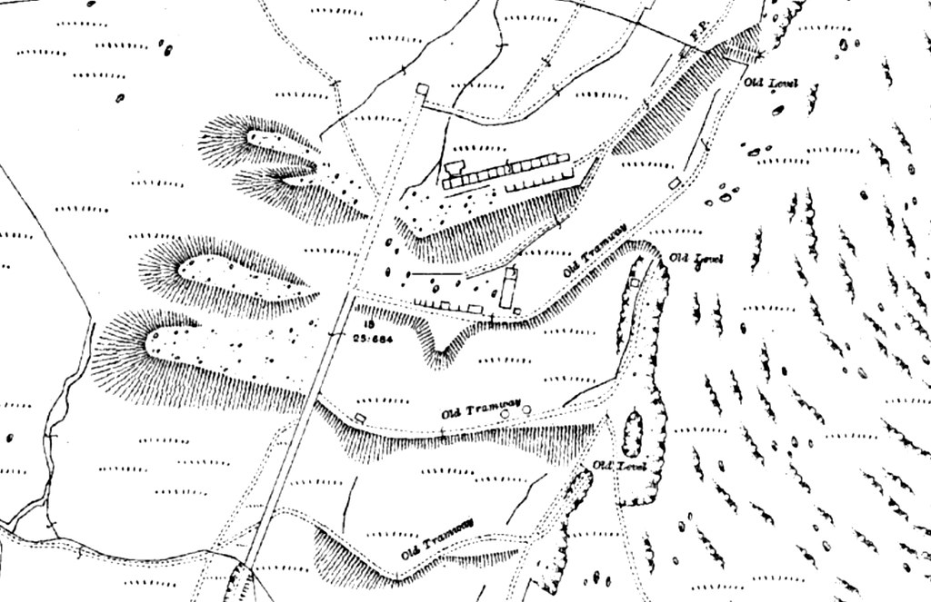
Map of the quarry:
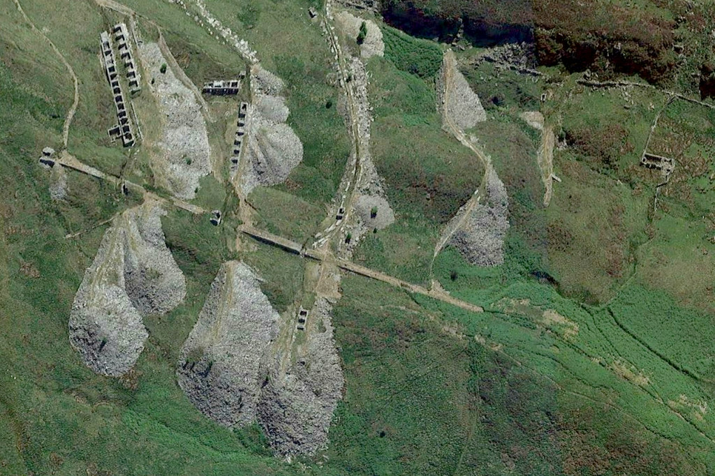
And a Google Maps image of the main workings at the head of the quarry:
Despite being promoted by the eccentric Huddart’s of Bryncir Manor, the quarry wasn’t successful and closed prematurely in 1886, after just 13 years of operation, although some small-scale working continued until 1920. It was considered by many as a failure and described as a triumph of “geology over optimism”. Despite the infrastructure of the quarry being good and being relatively well run, the low-grade slate and relative remoteness of the quarry made it relatively uneconomic.
With the complete failure of POW, Gorseddau Quarry and the other nearby quarries and mines it was built to serve, by 1887, the railway had largely fallen into disused bar the occasional single wagon hand-propelled to Porthmadog up until 1890. The land the railway ran on was sold in 1897 and the track and infrastructure dismantled.
2. The Explore
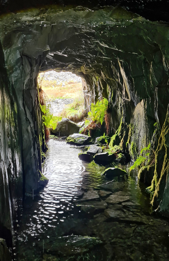
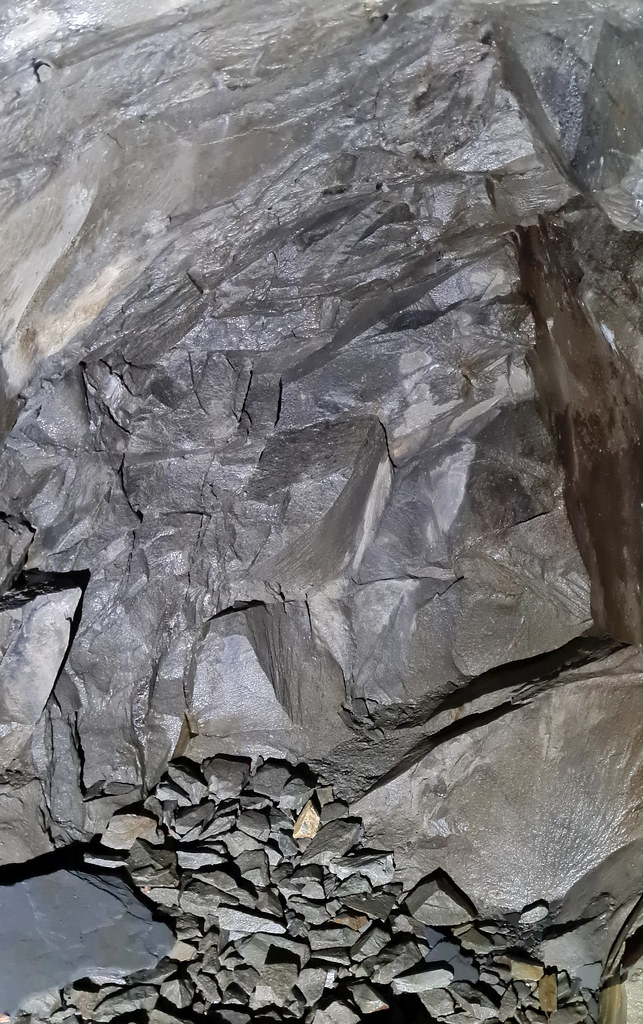
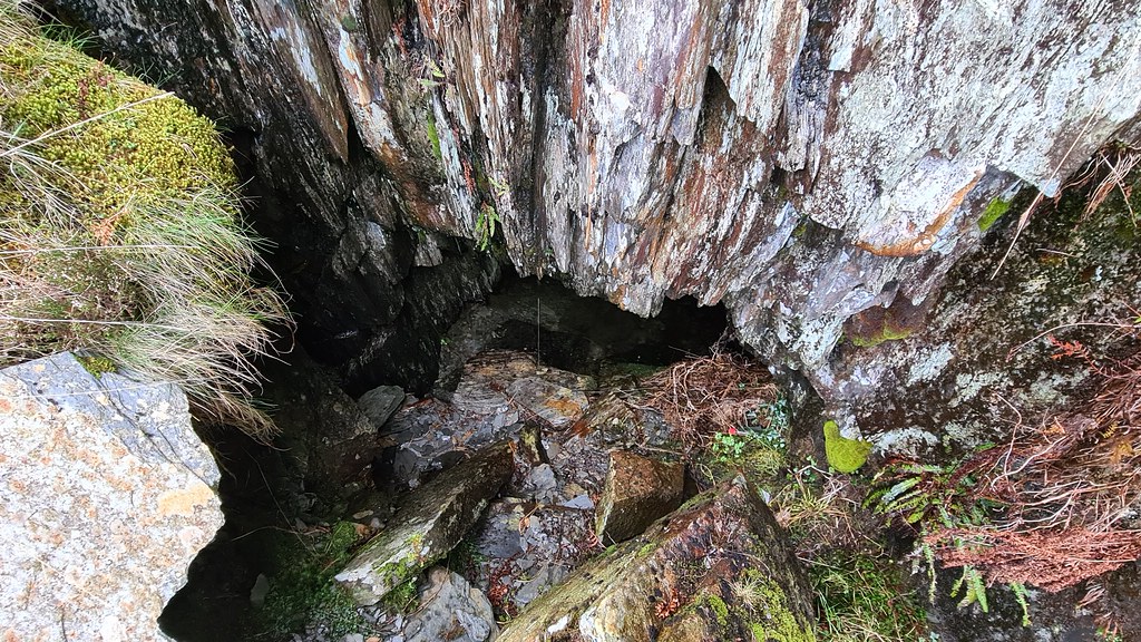
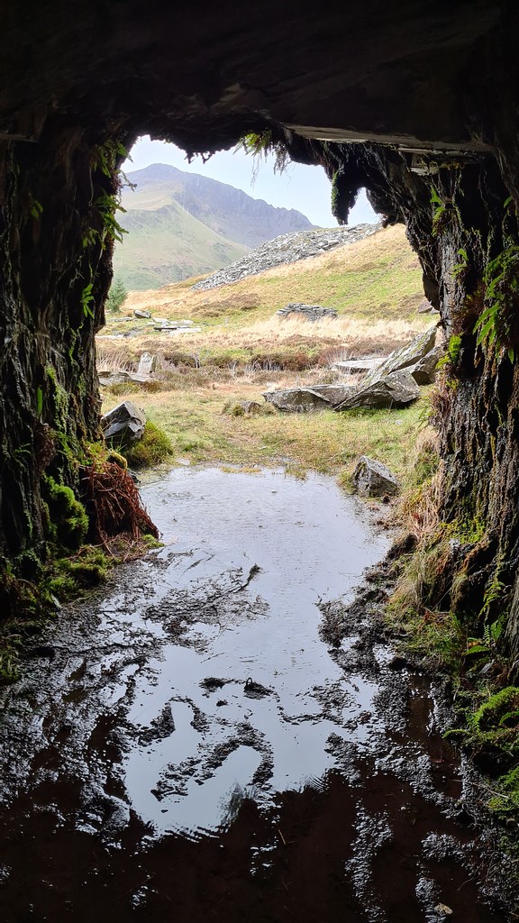
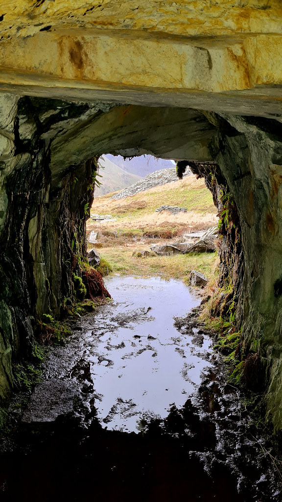
At the end of the road of Cwm Pennant and a pretty steep climb up the hill to the quarry/mine, this place is a bit of a challenge to get to. This is a revisit as I’d been here before and while I ventured up the incline to the upper levels, I was with the family so was pushed for time and didn’t have time to fully investigate the adits and underground parts of the site. Hence the reason for this visit. In truth, the underground stuff was a bit disappointing. I only found two adits I could go in. One ended in a sheer drop into the abyss, which I didn’t really fance. The other was a small trial that very quickly came to a dead end. That’s the way it goes sometimes. It was a lovely and peaceful walk in a very lovely corner of North Wales.
3. The Pictures
On the way up:
And looking across at Dol-Ifan-Gethin slate quarry:

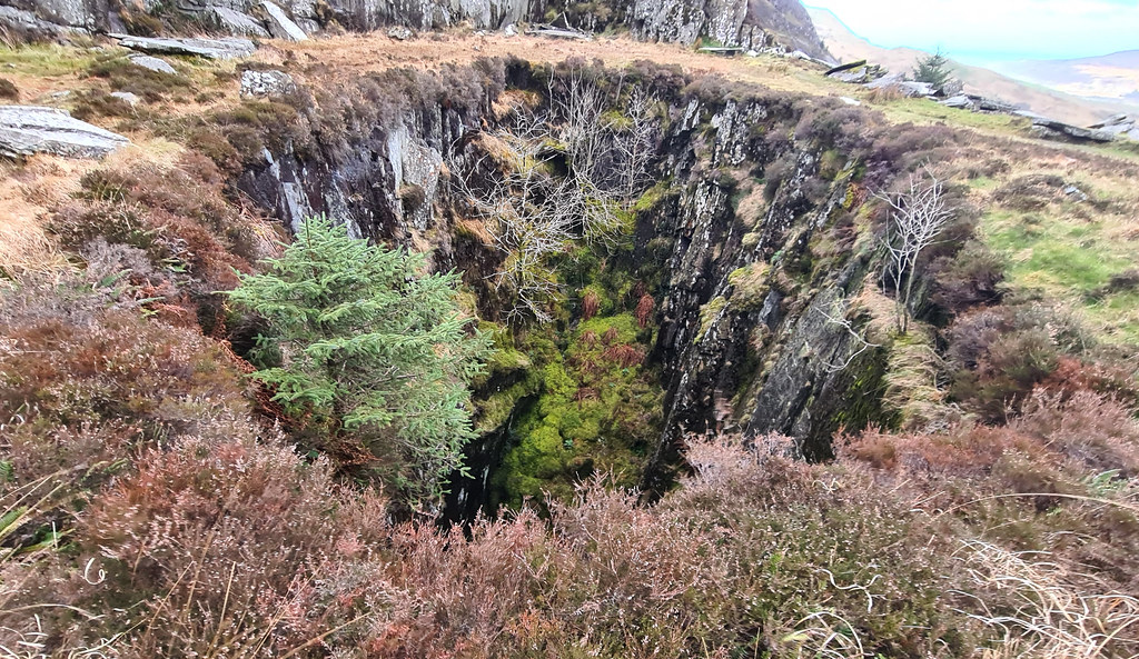
One for next time:
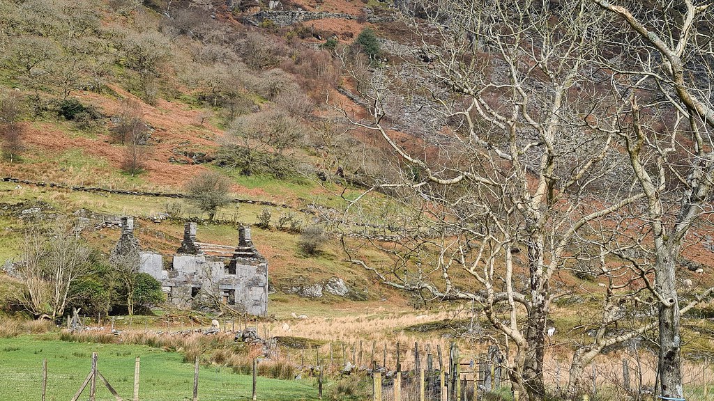
And past the quarry manager’s house:
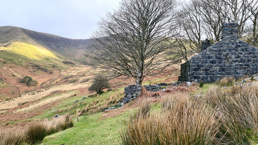
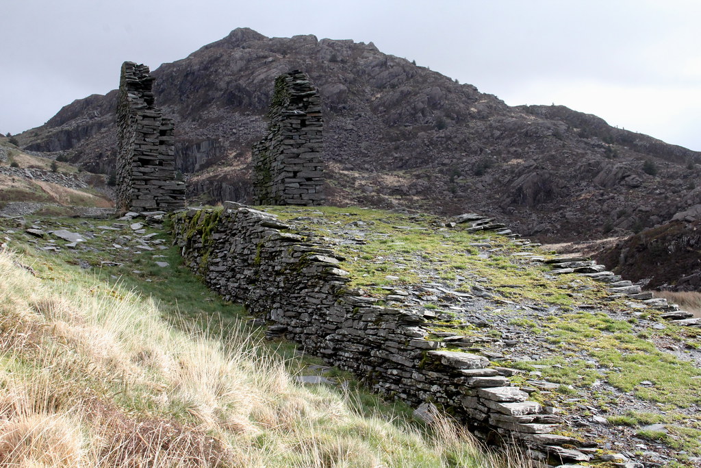
The very photogenic old slate mill at the bottom of the incline:

The sun even decides to pop out briefly:
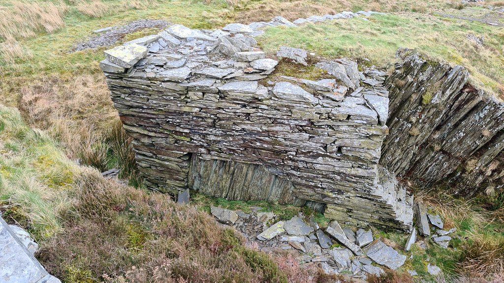
Bottom winding house at foot of the incline and just above the mill:
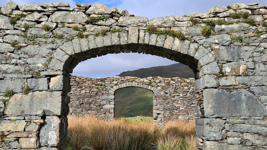
Onward…
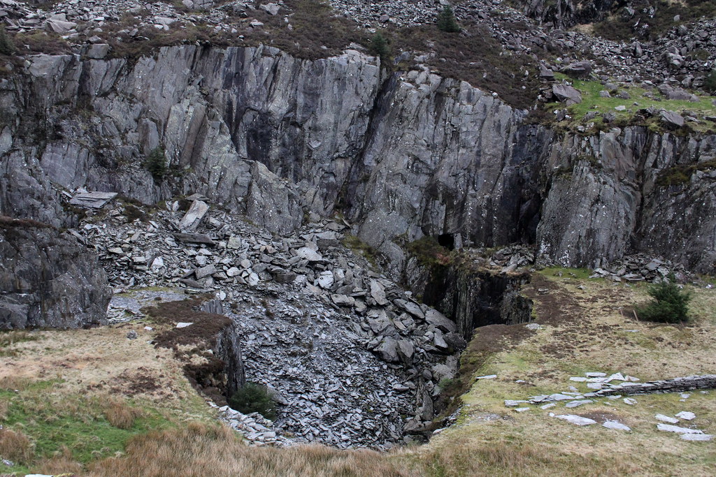
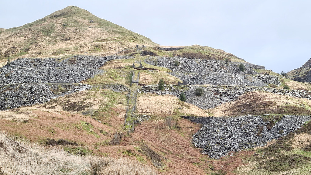
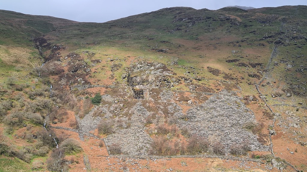
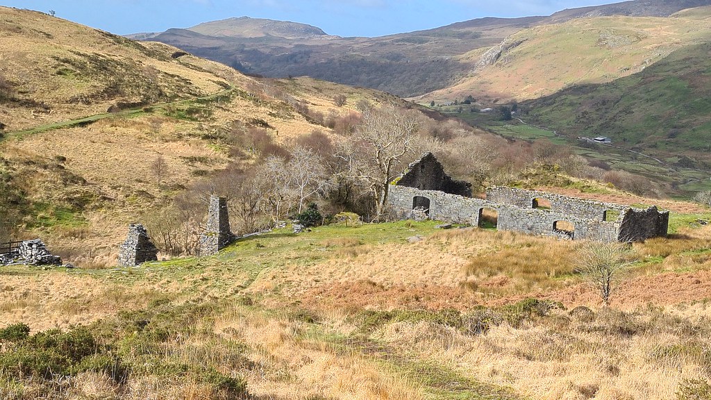
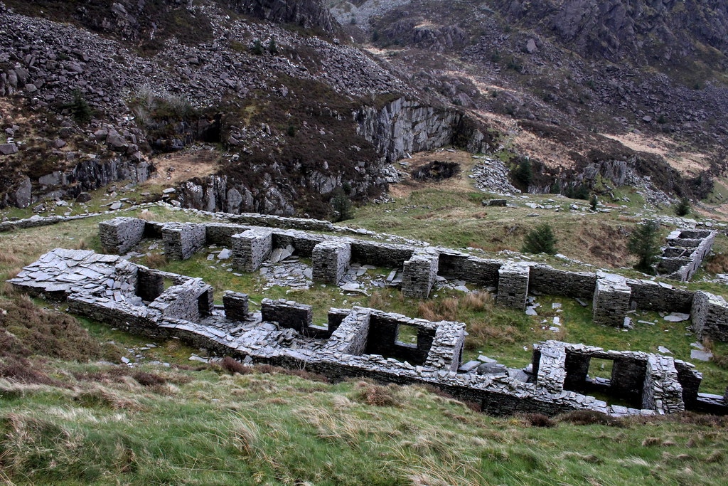
Overview of the quarry-mine:
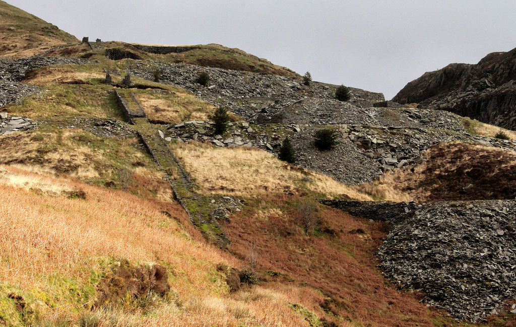

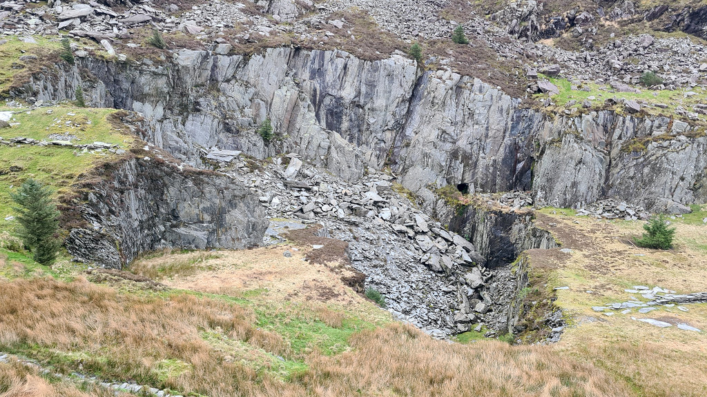
The start of the waste tips:
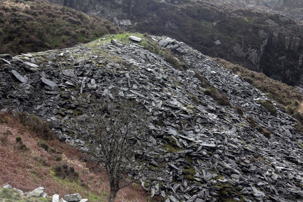
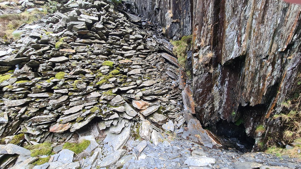
And yet more waste:
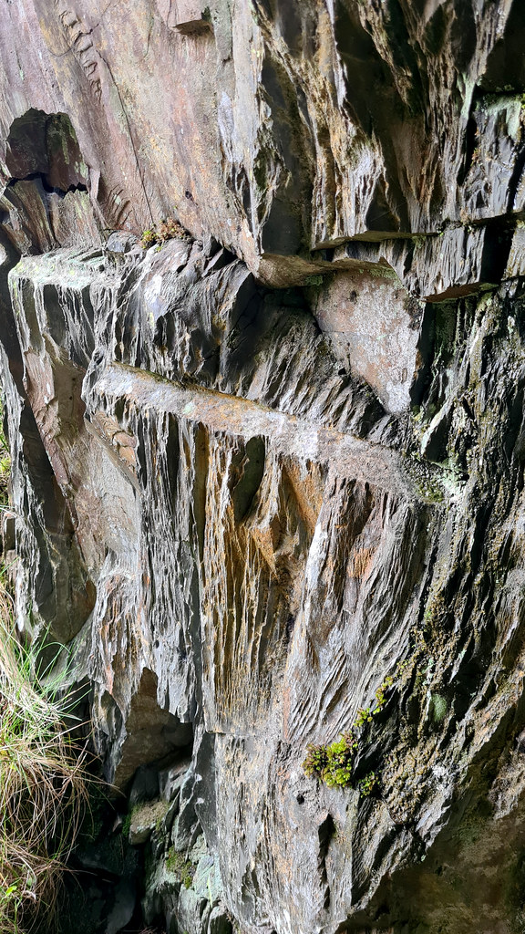
These slabs never made it down to the mill:
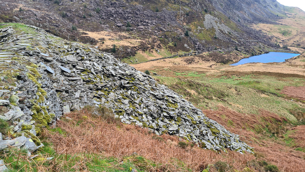
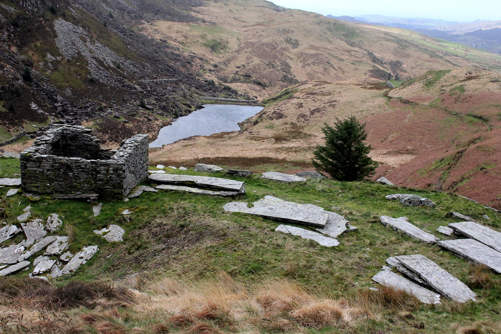
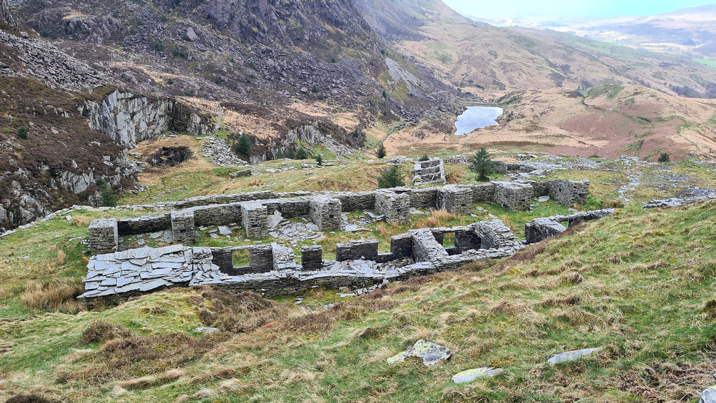
Looking down the valley with the reservoir and dam to the left-hand side:
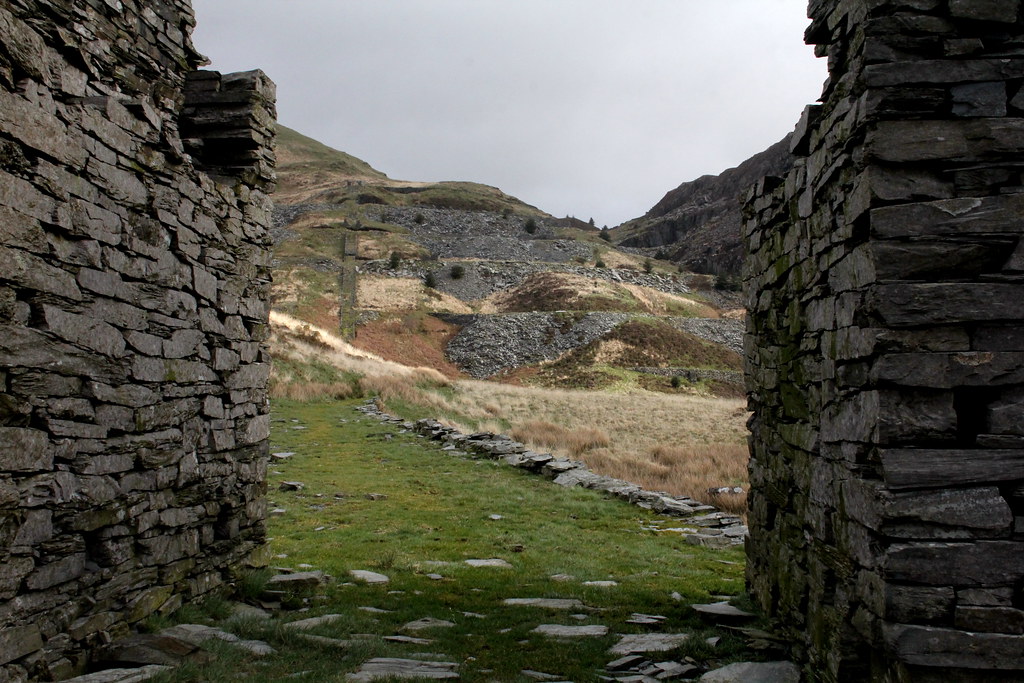
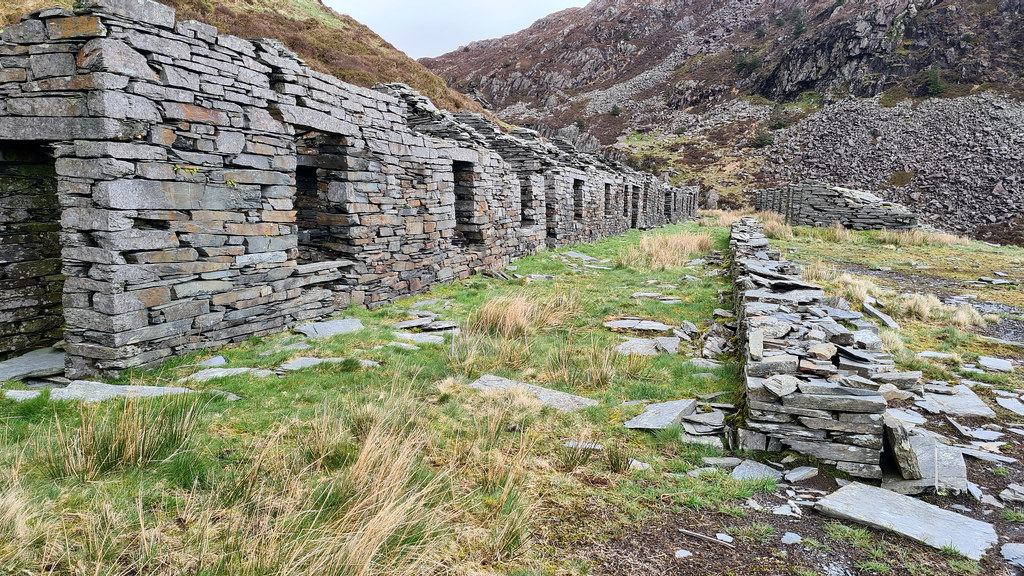
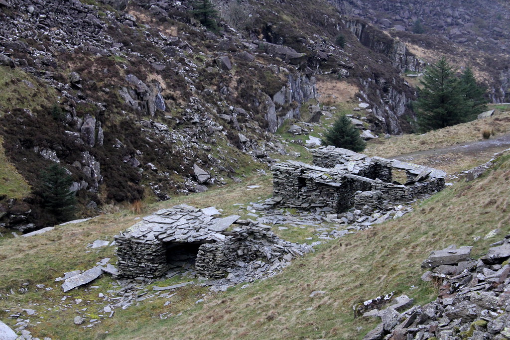
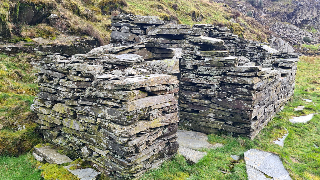
Lower set of “waliau”, literal translation “walls” which were open-fronted shelters where slate-splitting was carried out.

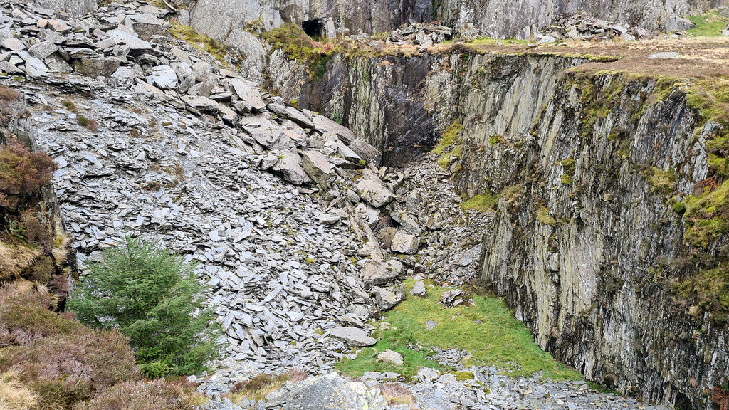
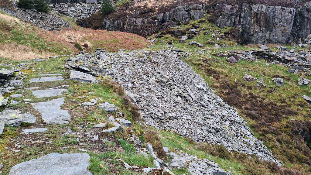
On to the end of the slate tip:

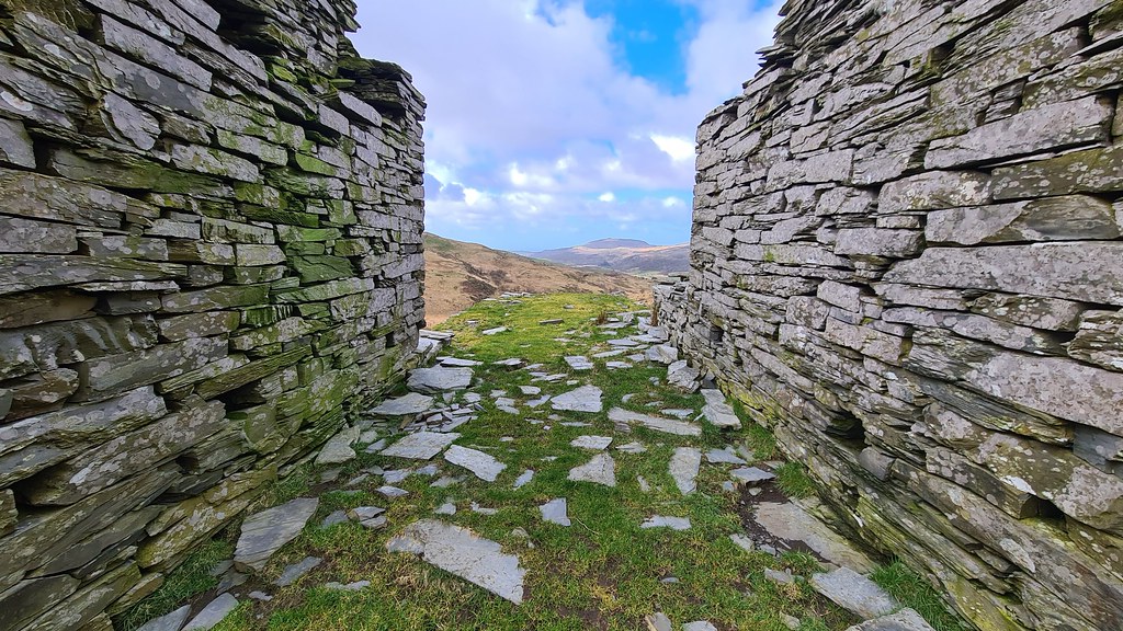
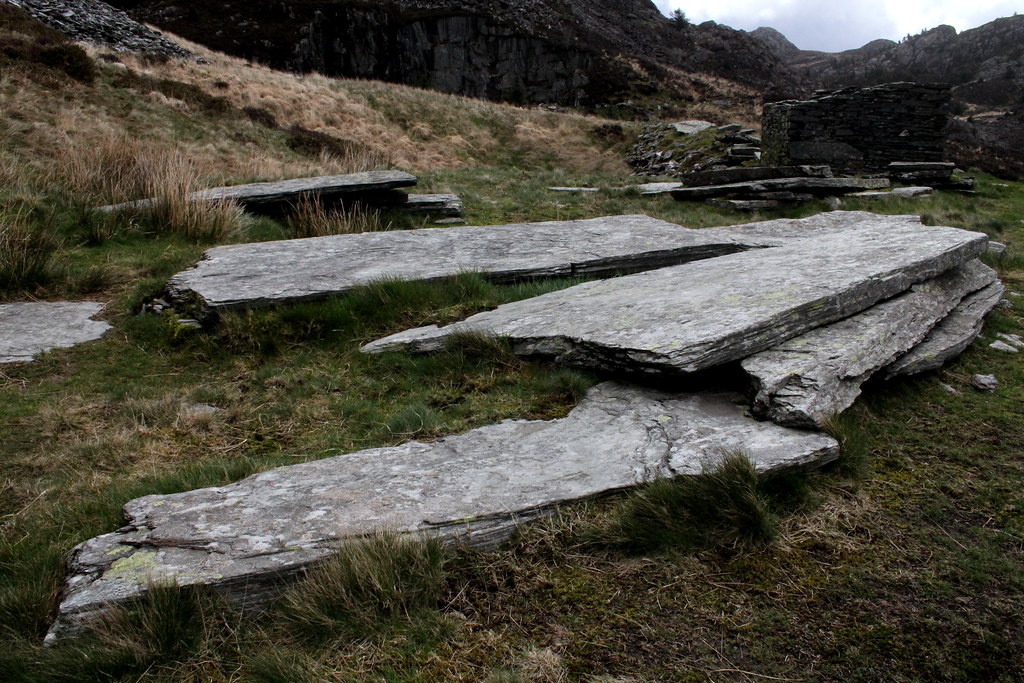
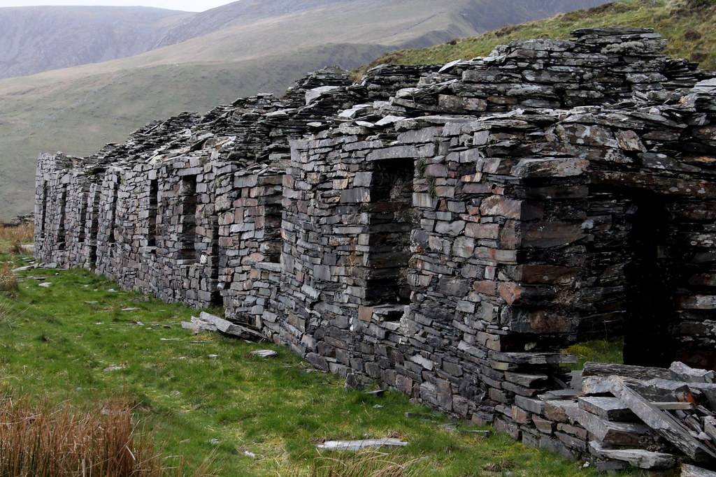
Up a level and on to the quarrymen’s barracks:
A break in the incline:
And up again:
And across:
The Prince of Wales slate mine at Bwlch y Ddwy Elor (meaning “The Gap of the Two Elves”) nestles in Cwm Trwsgl at the head of the Cwm Pennant valley, to the north-east of Dolbenmaen, Gwynned, It was initially worked as an open-working quarry with the slate carried north-east to Ryhd Du, under the management of William Francis, the former quarry manager at Penrhyn quarry. In the 1860s the mine was developed and started to be worked on three levels, including underground workings. Seven galleries were opened up, each connected by a single main incline, climbing up to the head of the quarry from the south. At the incline’s foot was a water-powered mill, completed in 1864 at a site known as Cwm Trwsgl, which dealt only with slab. The mill was powered by a water wheel with pillars to its left which carried the water supply from the dam up the hill to the right of the incline.
The quarry started to be worked more intensively from around 1873. This was linked to the quarry’s newly improved transportation links. The nearby Gorseddau Quarry had previously been linked to Porthmadoc by the 3ft gauge Gorseddau Tramway, which had been built earlier in 1856 as an extension of the Tremadoc tramway. The Gorseddau Quarry had been a spectacular failure and with its demise the tramway had fell into a state of disuse. However, in 1872, it was re-gauged to 2ft, renamed the Gorseddau Junction and Portmadoc Railway and extended via a new junction at Braich-y-bib for the 5 miles to take it to the foot of the incline at Prince of Wales mine.
Now operating on five levels, on the top (fifth) level were a row of barracks with a row of ‘waliau’ opposite. The barracks provided accommodation for the quarrymen while the small waliau, open at one end with a sloping roof, were where one or two quarrymen would work splitting slates. The ‘worked’ areas were to the right of the spoil heaps, on the western face of Y Gyrn. The reduction of roofing slate took place on the terraces themselves, and at its brief peak, the quarry employed 200 men who produced approximately 5,000 tons of slate per annum.
Map of the quarry:
And a Google Maps image of the main workings at the head of the quarry:
Despite being promoted by the eccentric Huddart’s of Bryncir Manor, the quarry wasn’t successful and closed prematurely in 1886, after just 13 years of operation, although some small-scale working continued until 1920. It was considered by many as a failure and described as a triumph of “geology over optimism”. Despite the infrastructure of the quarry being good and being relatively well run, the low-grade slate and relative remoteness of the quarry made it relatively uneconomic.
With the complete failure of POW, Gorseddau Quarry and the other nearby quarries and mines it was built to serve, by 1887, the railway had largely fallen into disused bar the occasional single wagon hand-propelled to Porthmadog up until 1890. The land the railway ran on was sold in 1897 and the track and infrastructure dismantled.
2. The Explore
At the end of the road of Cwm Pennant and a pretty steep climb up the hill to the quarry/mine, this place is a bit of a challenge to get to. This is a revisit as I’d been here before and while I ventured up the incline to the upper levels, I was with the family so was pushed for time and didn’t have time to fully investigate the adits and underground parts of the site. Hence the reason for this visit. In truth, the underground stuff was a bit disappointing. I only found two adits I could go in. One ended in a sheer drop into the abyss, which I didn’t really fance. The other was a small trial that very quickly came to a dead end. That’s the way it goes sometimes. It was a lovely and peaceful walk in a very lovely corner of North Wales.
3. The Pictures
On the way up:
And looking across at Dol-Ifan-Gethin slate quarry:
One for next time:
And past the quarry manager’s house:
The very photogenic old slate mill at the bottom of the incline:
The sun even decides to pop out briefly:
Bottom winding house at foot of the incline and just above the mill:
Onward…
Overview of the quarry-mine:
The start of the waste tips:
And yet more waste:
These slabs never made it down to the mill:
Looking down the valley with the reservoir and dam to the left-hand side:
Lower set of “waliau”, literal translation “walls” which were open-fronted shelters where slate-splitting was carried out.
On to the end of the slate tip:
Up a level and on to the quarrymen’s barracks:
A break in the incline:
And up again:
And across: