


After my previous explore of Glasgow's Molendinar Burn, I had to go back to cover the downstream section, which runs from Duke Street down to the Clyde.
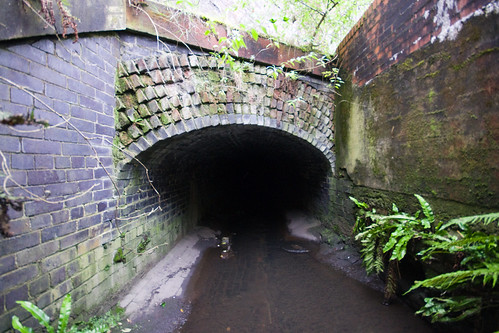
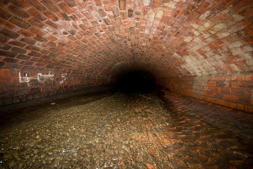
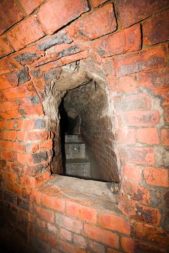
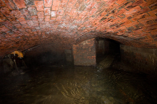
The downstream tunnel entrance:
First there's beautiful stone, quite high:
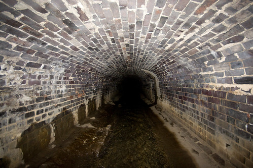
Then stone walls and a brick roof:
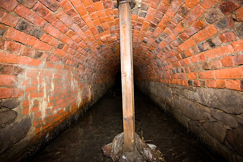
Then circular brick, with some neat side drains:
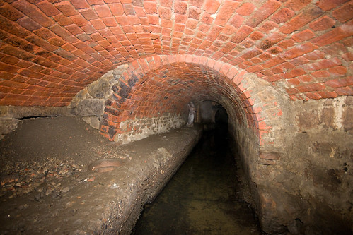
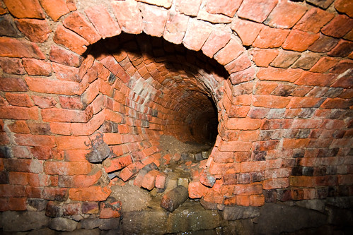
Then lower and oval, with some steeper sections:
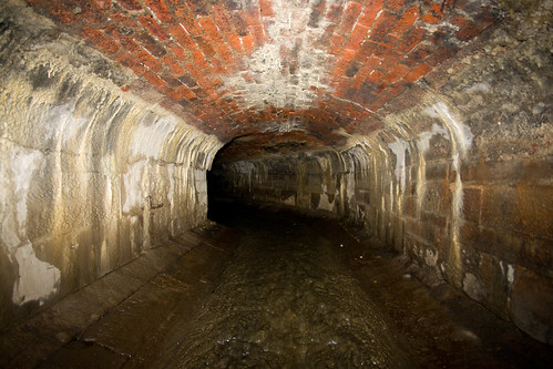
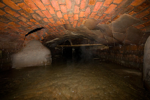
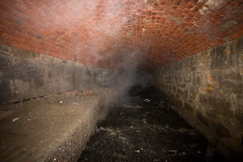
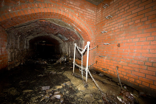
It then opens up a bit:
Before getting quite a bit lower:
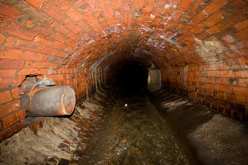
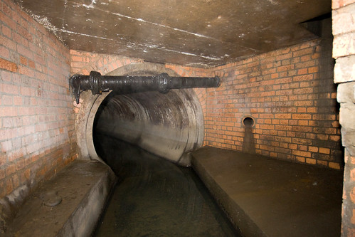
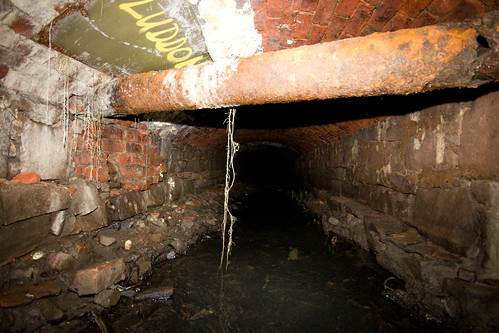
Going under a large pipe:
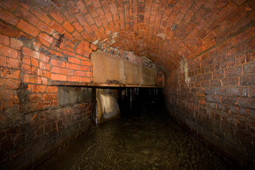
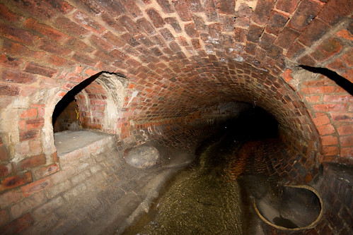
A couple more side drains - theses don't drain into the burn, they end up somewhere underneath it:
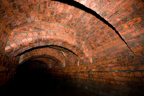
Then a whole series of beautiful brick arches:
Then it gets very, very low and goes under the underground rail line from Central Station - I was half way through when a train went overhead:
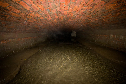
Then a long, long backbreaking stretch:
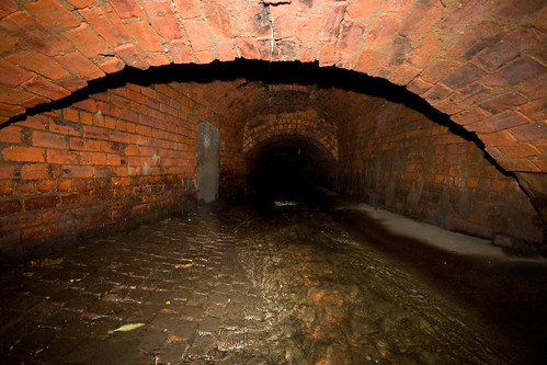
Then a junction, where another burn joins - I haven't been able to find the name of this burn, but it follows the route of Greendyke Street:
Carrying on a bit further, the burn drops into a smaller pipe, and the way is impassable - this must be almost at the Clyde:

Going back upstream to where Greendyke joins the burn, there's a wall and pillar:

Going up Greendyke this time, the way is a lot more pleasant than the burn - much higher:
Some nice changes of construction:
A bit of modern concrete and brick:
Back to brick, and some nice reassuring reinforcement:
Some more beautiful side drains:
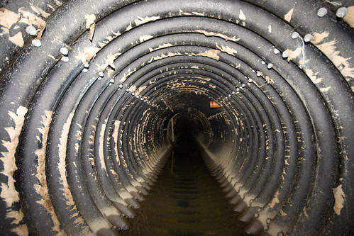
Then good old steel pipe, the same as upstream on the Molindenar Burn:
A newer, more open section:
And at this point, I stopped to turn back, as it was getting late:
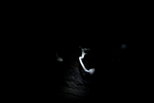
Stopping only to photograph some subterranean mushrooms:
At a guess, I travelled about a mile and a half under Glasgow - and back again, of course! The Greendyke was still perfectly accessible when I abandoned my stroll, so who knows how far that goes. As usual, my Flickr set has lots more images...
The downstream tunnel entrance:
First there's beautiful stone, quite high:
Then stone walls and a brick roof:

Then circular brick, with some neat side drains:
Then lower and oval, with some steeper sections:
It then opens up a bit:
Before getting quite a bit lower:
Going under a large pipe:
A couple more side drains - theses don't drain into the burn, they end up somewhere underneath it:
Then a whole series of beautiful brick arches:
Then it gets very, very low and goes under the underground rail line from Central Station - I was half way through when a train went overhead:
Then a long, long backbreaking stretch:
Then a junction, where another burn joins - I haven't been able to find the name of this burn, but it follows the route of Greendyke Street:
Carrying on a bit further, the burn drops into a smaller pipe, and the way is impassable - this must be almost at the Clyde:
Going back upstream to where Greendyke joins the burn, there's a wall and pillar:
Going up Greendyke this time, the way is a lot more pleasant than the burn - much higher:
Some nice changes of construction:
A bit of modern concrete and brick:
Back to brick, and some nice reassuring reinforcement:
Some more beautiful side drains:
Then good old steel pipe, the same as upstream on the Molindenar Burn:
A newer, more open section:
And at this point, I stopped to turn back, as it was getting late:
Stopping only to photograph some subterranean mushrooms:
At a guess, I travelled about a mile and a half under Glasgow - and back again, of course! The Greendyke was still perfectly accessible when I abandoned my stroll, so who knows how far that goes. As usual, my Flickr set has lots more images...
")